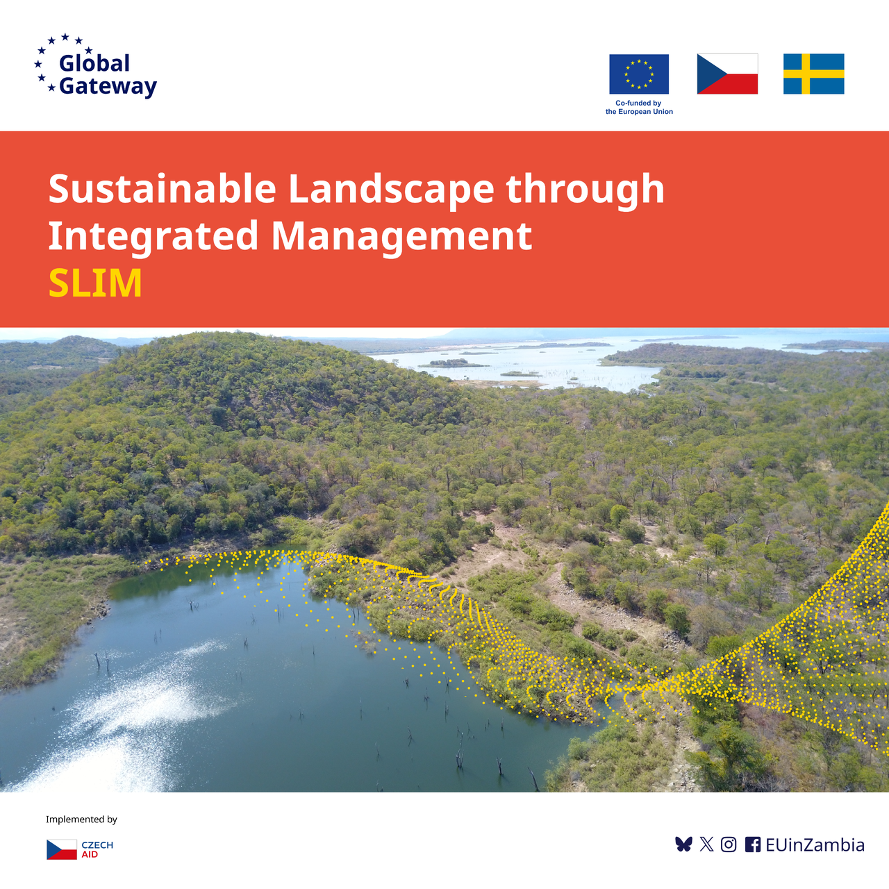
One of the most significant initiatives of Czech development cooperation in Zambia is the project Sustainable Landscape through Integrated Management (SLIM). Its main goal is to strengthen the resilience of ecosystems while also improving the lives of local communities. This is the first project in which the Czech Development Agency acts as an independent implementer. A key component of the project is also the protection of local wetlands through the integration of geotechnologies with public awareness efforts.
Wetlands play a critical role in maintaining environmental balance. They store carbon, clean water, control floods, and support biodiversity. In Zambia, wetlands are increasingly under threat due to climate change, development, and agricultural expansion. Protecting them is becoming more urgent—and modern technology is making a real difference.
Sustainable Landscape through Integrated Management (SLIM) Project, SLIM project is part of the large European Union Global Gateway Strategy called Green Nexus Programme and its main objective is to mainstream Integrated Landscape Management concept into national policies to positively influence decision-making processes. The project is funded by European Union, Sweden and Czechia and as part of the ILM concept, and among other, it is aslo focusing on the provision of technology and capacity building in the use of geospatial data to monitor changes in the landscape in order to make informative decision on the landscape use and its protection.
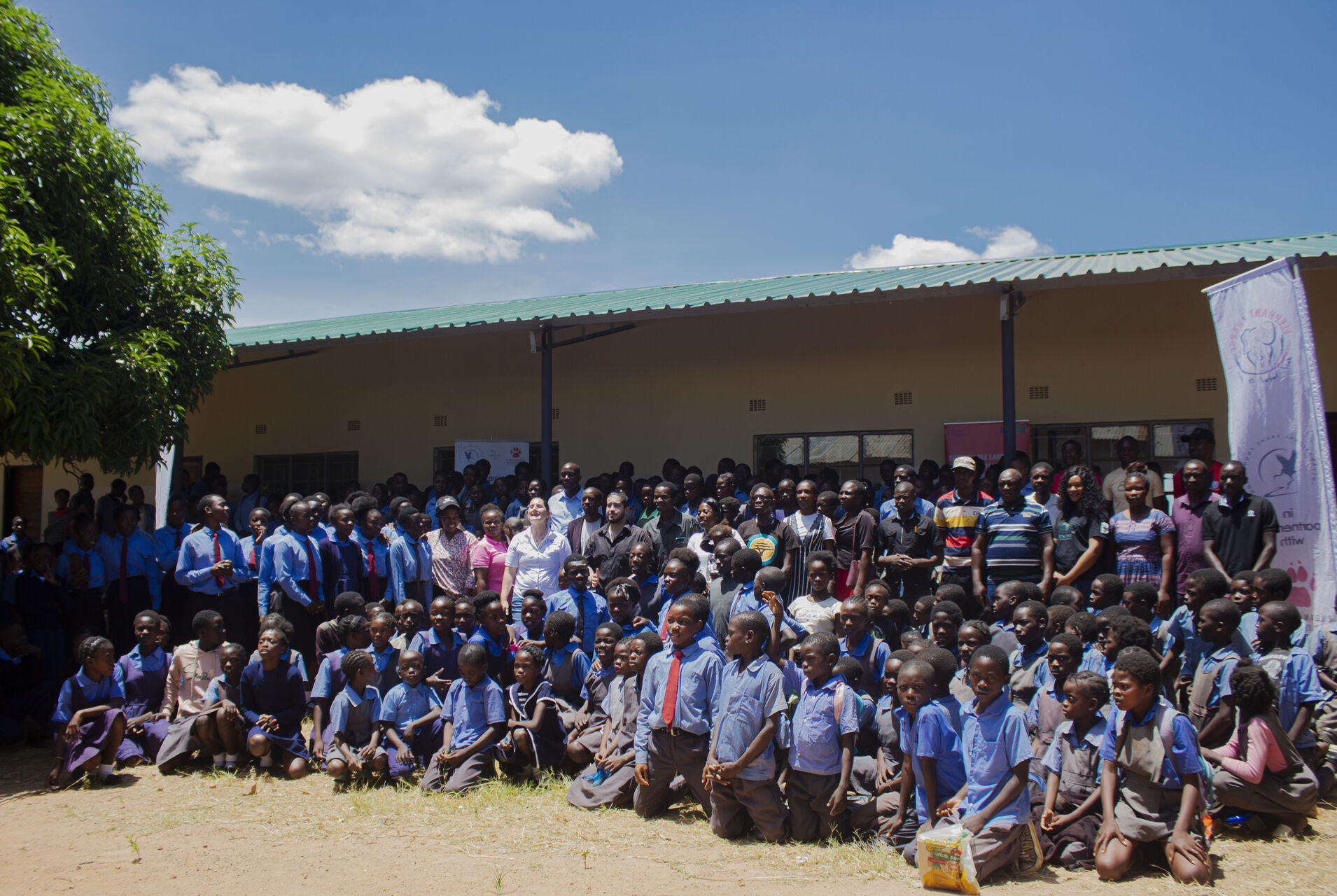
SLIM, with the People in Need in Zambia and International Crane Foundation, organized the educational outreach to Hakunkula Basic School in Monze District to highlight how Geographic Information Systems (GIS) and Remote Sensing can support wetland conservation efforts. These tools help provide accurate data for better planning, monitoring, and management, and are now being used to involve not just experts, but also students and local communities.
During the educational outreach, that collided with the International Wetlands Day celebrations, students were introduced to both the value of wetlands and the technology used to protect them and the use of technologies was demonstrated via colourful educational infographic boards. Over 100 pupils learned how satellites and drones can track environmental changes, detect illegal land use, and support informed decision-making.
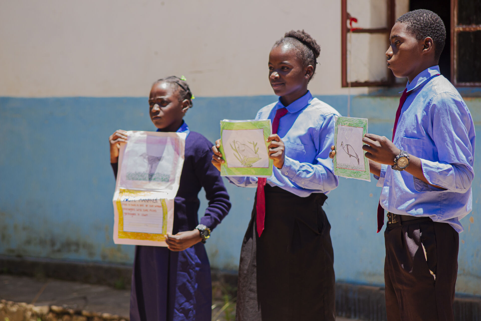
Pupils responded with interest and enthusiasm. They engaged in interactive sessions, explored satellite images of their communities, and even expressed what they learned through poetry and drama. It was a practical way to link environmental science to their everyday lives—and to show that young people can be part of the solution. Based on the overwhelming response from the pupils and school management, SLIM prepared a Teacher’s Activity Guide to guide teachers on how to make learning about wetlands preservation and the use of technology under the umbrella of Integrated Landscape Management more interactive. The guide was distributed to 20 schools in the Wetlands area in Monze District.
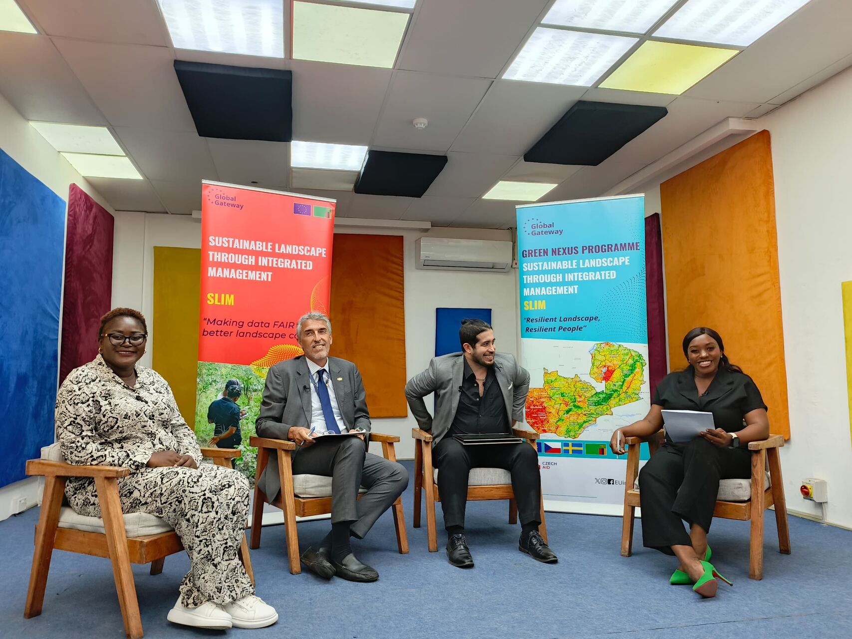
The SLIM effort to share the use of technology in environmental protection extended beyond the school. A nationwide panel discussion brought together representatives from the European Union, government representative from the Department of National Parks and Wildlife under the Ministry of Tourism and Remote Sensing Expert to discuss how Zambia can combine traditional conservation methods with modern technology.
Although wetlands have a natural ability to recover, they require involvement from students to policymakers in their conservation. Such interventions can only be successful if the decision makers are equipped with the knowledge and tools to make informed decisions. Through these activities SLIM demonstrated that combining geospatial technology with public awareness can strengthen efforts to protect Zambia’s wetlands.